A Brief History of Fort Worth, Texas
Fort Worth's story from its 1849 Army post on the Trinity River through the cattle drives, railroad, Stockyards, streetcar suburbs and AllianceTexas.
Published by Fort Worth Texas Junk Removal · Operated by XB Junk Solutions LLC
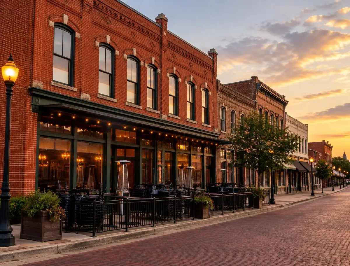
Illustrative image of historic brick commercial architecture.
Fort Worth's neighborhoods, commercial districts and industrial corridors each reflect a different chapter of the city's growth. Understanding that history explains why a bungalow in Fairmount, a storefront in the Stockyards and a distribution center near Alliance look so different.
An Army post on the Trinity (1849)
In 1849 the U.S. Army established a post on a bluff above the confluence of the Clear and West forks of the Trinity River, naming it for General William Jenkins Worth. The Army left within a few years, but settlers stayed and took over the site, and the town grew around the old post.
Cattle drives and the Chisholm Trail
After the Civil War, Fort Worth became a supply stop for cattle drives heading north to Kansas railheads along routes associated with the Chisholm Trail. Drovers resupplied in town, and the rough district that grew up to serve them south of the courthouse became known as Hell's Half Acre.
The railroad arrives (1876)
The Texas & Pacific Railway reached Fort Worth in 1876. Rail access turned the town from a trail stop into a shipping point, and more lines soon followed, making Fort Worth a regional rail hub.
Stockyards and meatpacking
Stockyards opened north of the Trinity in the late 1880s, and in the early 1900s major meatpacking companies built large plants there. The Stockyards and packing houses drove decades of industrial growth on the Northside. Much of the area is now the Fort Worth Stockyards National Historic District.
"Where the West Begins"
The city adopted the slogan "Where the West Begins" in the early twentieth century, a nod to its role at the edge of the cattle country and its frontier-era roots.
Streetcar suburbs and historic neighborhoods
As the city prospered, streetcar lines carried new development south and west of downtown. Neighborhoods such as Fairmount, Ryan Place and Mistletoe Heights to the south, and Arlington Heights to the west, filled with homes from the 1890s through the 1930s. The City describes Fairmount/Southside as an early-twentieth-century streetcar suburb of roughly 375 acres. Camp Bowie, a World War I Army training camp, gave its name to the brick boulevard that still runs through the west side.
Aviation, industry and postwar growth
Aviation and defense manufacturing became major employers during and after World War II. Postwar suburbs spread across the west and southwest, producing established neighborhoods like Tanglewood and Ridglea.
Modern downtown
Late-twentieth-century redevelopment, including Sundance Square, brought residents, restaurants and entertainment back to the downtown core. The West 7th and Near Southside districts later grew into dense mixed-use areas.
AllianceTexas and today's growth
Beginning in the late 1980s, AllianceTexas developed around Fort Worth Alliance Airport in the far north, becoming a major logistics and business hub that spans several jurisdictions. Fort Worth has grown into a major city: Census Bureau estimates put its population at roughly 1.028 million as of July 1, 2025, making it the 10th-largest city in the United States.